File list
Jump to navigation
Jump to search
This special page shows all uploaded files.


| Date | Name | Thumbnail | Size | User | Description | Versions |
|---|---|---|---|---|---|---|
| 12:19, 7 January 2019 | Wood Farm 1.jpg (file) |  |
1.14 MB | Harriet (talk | contribs) | Wood Farm farmhouse on Wroxham Road in 2017. | 1 |
| 12:19, 7 January 2019 | 014r0ae30074p.jpg (file) |  |
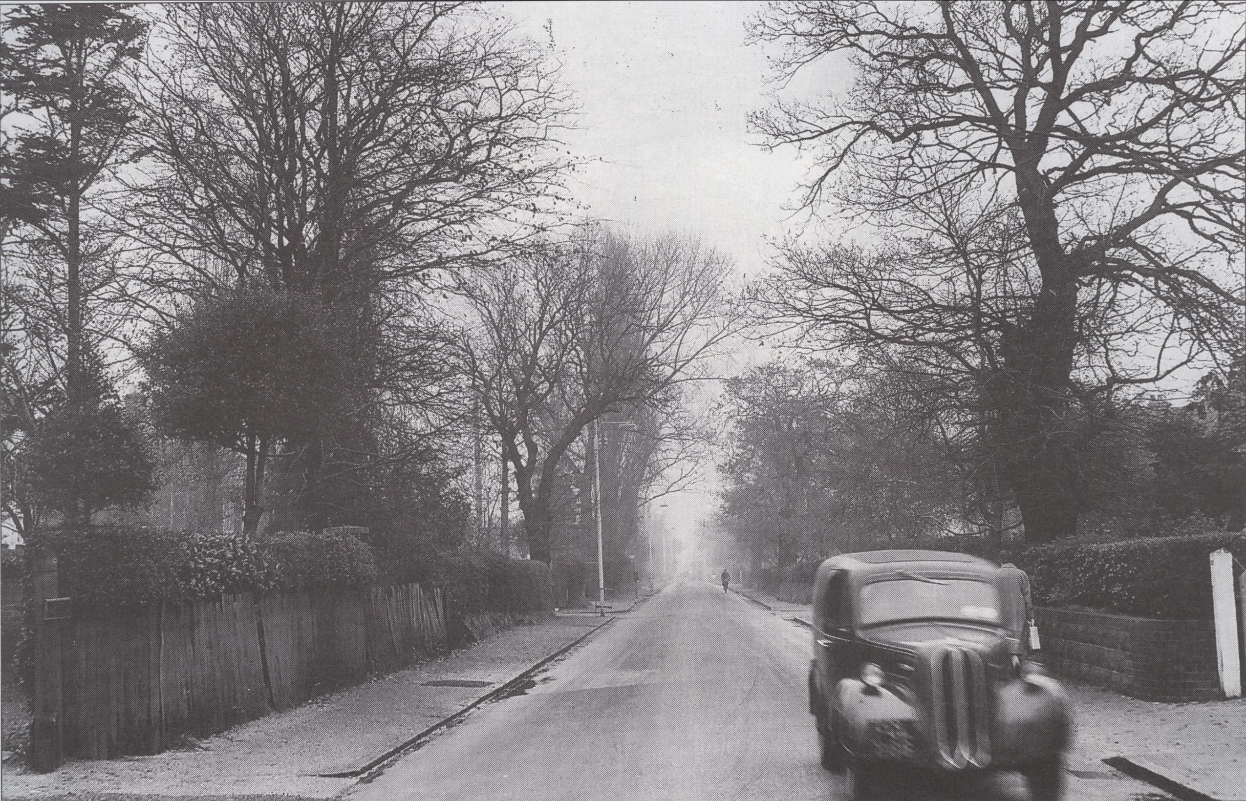
510 KB | Harriet (talk | contribs) | ID 24.78 = 014r0ae30074.jpg - Linacre Avenue looking toward Blue Boar Lane. The Road on the right is Bewit Road. 1960s | 1 |
| 12:19, 7 January 2019 | 014r0ae30079p.jpg (file) |  |
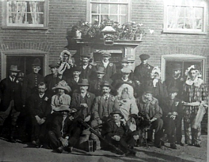
215 KB | Harriet (talk | contribs) | ID 112.2 = 014r0ae30079.jpg - Regulars outside The Brickmakers Arms Public House on Sprowston Road. | 1 |
| 12:19, 7 January 2019 | 014r0ae30085p.jpg (file) |  |
3.72 MB | Harriet (talk | contribs) | ID 48.67 = 014r0ae30085.jpg - Wroxham Road prior to the widening. We believe the photograph was taken from outside of the Police station looking toward Sprowston Road roundabout. | 1 |
| 12:18, 7 January 2019 | 014r0ae30087p.jpg (file) |  |
25 KB | Harriet (talk | contribs) | ID 24.85 = 014r0ae30087.jpg - Brickmakers P.H. | 1 |
| 12:18, 7 January 2019 | 014r0ae30089p.jpg (file) |  |
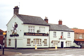
59 KB | Harriet (talk | contribs) | ID 24.87 = 014r0ae30089.jpg - Prince of Denmark P.H. | 1 |
| 12:18, 7 January 2019 | Flowerdews Garagep.jpg (file) |  |
182 KB | Harriet (talk | contribs) | Flowerdews Garage / Filling Station early 1930s. | 1 |
| 12:18, 7 January 2019 | SpRd.2015.2p.JPG (file) |  |
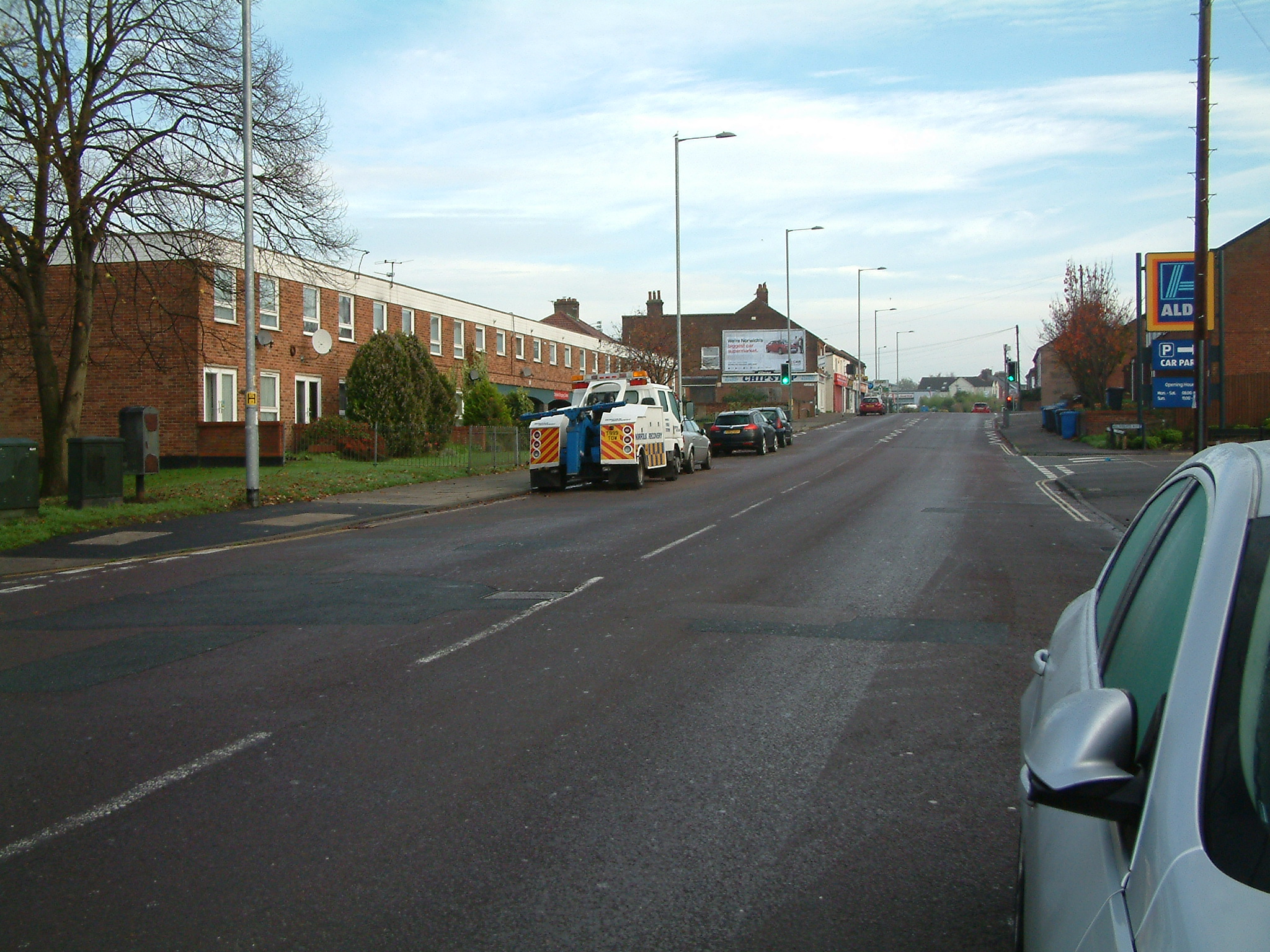
1.12 MB | Harriet (talk | contribs) | Sprowston Road 2015 | 1 |
| 12:18, 7 January 2019 | Sprowston Estate Survey0004p.jpg (file) |  |
2.05 MB | Harriet (talk | contribs) | Gurney Estate, Cottages Laundry Lane 1906 | 1 |
| 12:18, 7 January 2019 | Sprowston Estate Survey0016p.jpg (file) |  |
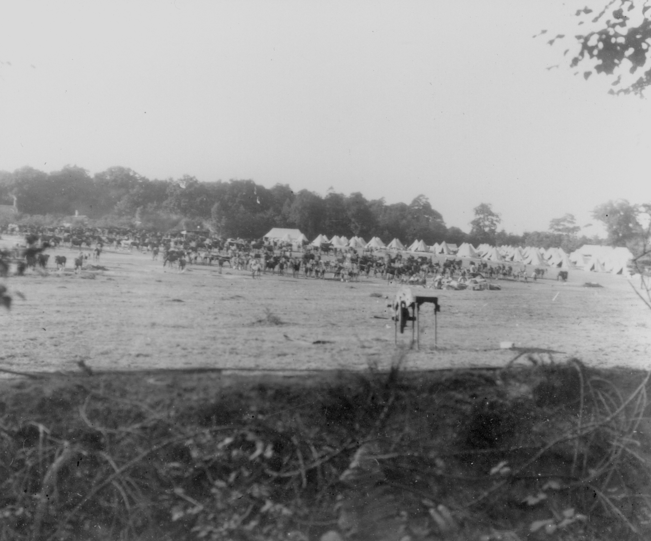
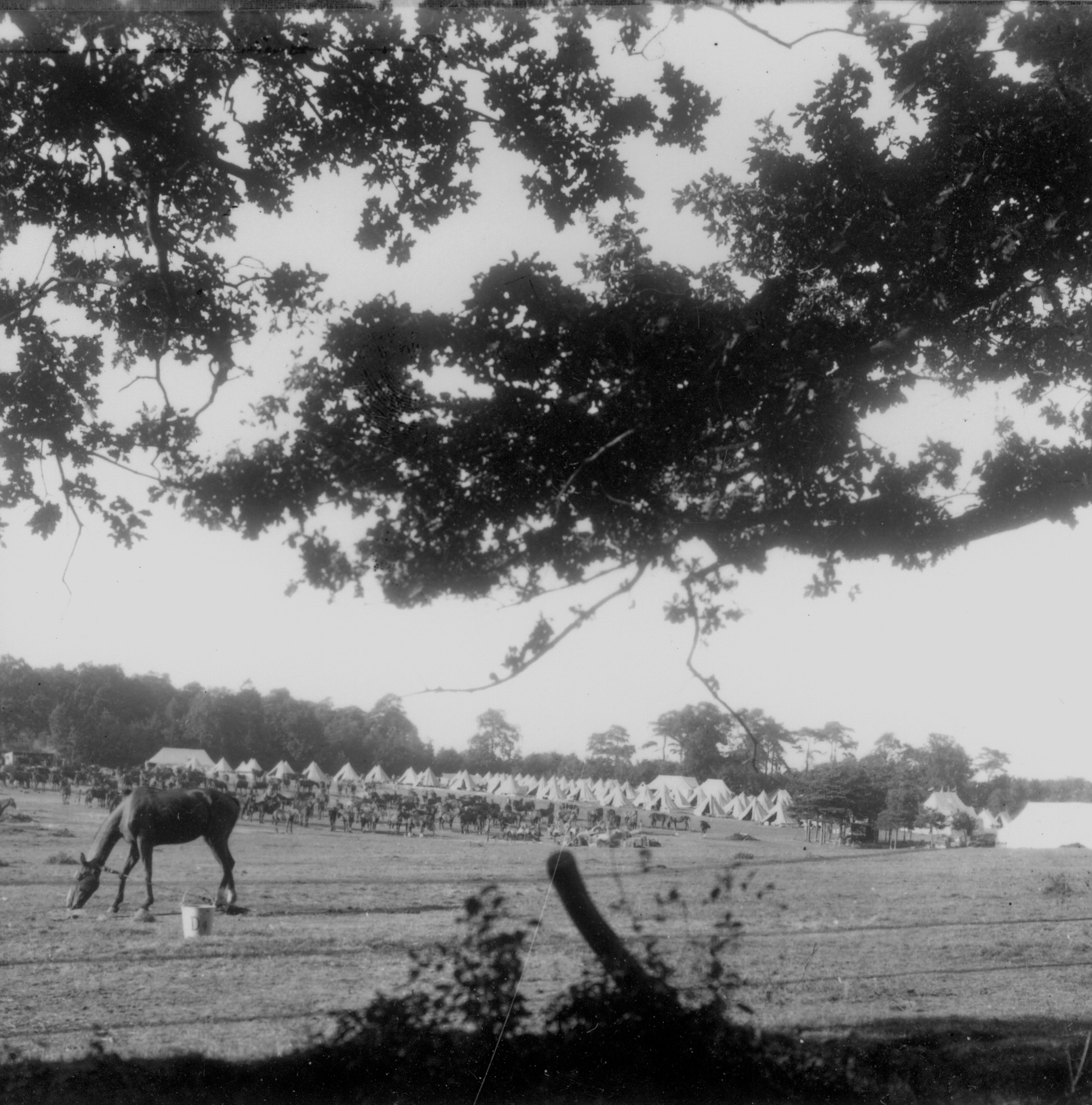
1.09 MB | Harriet (talk | contribs) | Gurney Estate, White House Farm, Polo Field being used for an exercise by the Lincolnshire Yeomanry in 1915. | 1 |
| 12:18, 7 January 2019 | Sprowston Estate Survey0017p.jpg (file) |  |
1.67 MB | Harriet (talk | contribs) | Gurney Estate, White House Farm, Polo Field being used for an exercise by the Lincolnshire Yeomanry in 1915. | 1 |
| 12:18, 7 January 2019 | 5-Norfolk Arms0001p.jpg (file) |  |
2.21 MB | Harriet (talk | contribs) | Norfolk Arms PH 1940's ? | 1 |
| 12:17, 7 January 2019 | 014r0ae30a0ap.jpg (file) |  |
3.86 MB | Harriet (talk | contribs) | ID 105.28 = 014r0ae30a0a.jpg - Outside the Georgian Hotel, formally Sprowston Grange, now The Racecourse Inn on Salhouse Road. | 1 |
| 12:17, 7 January 2019 | 014r0ae30a0hp.jpg (file) |  |
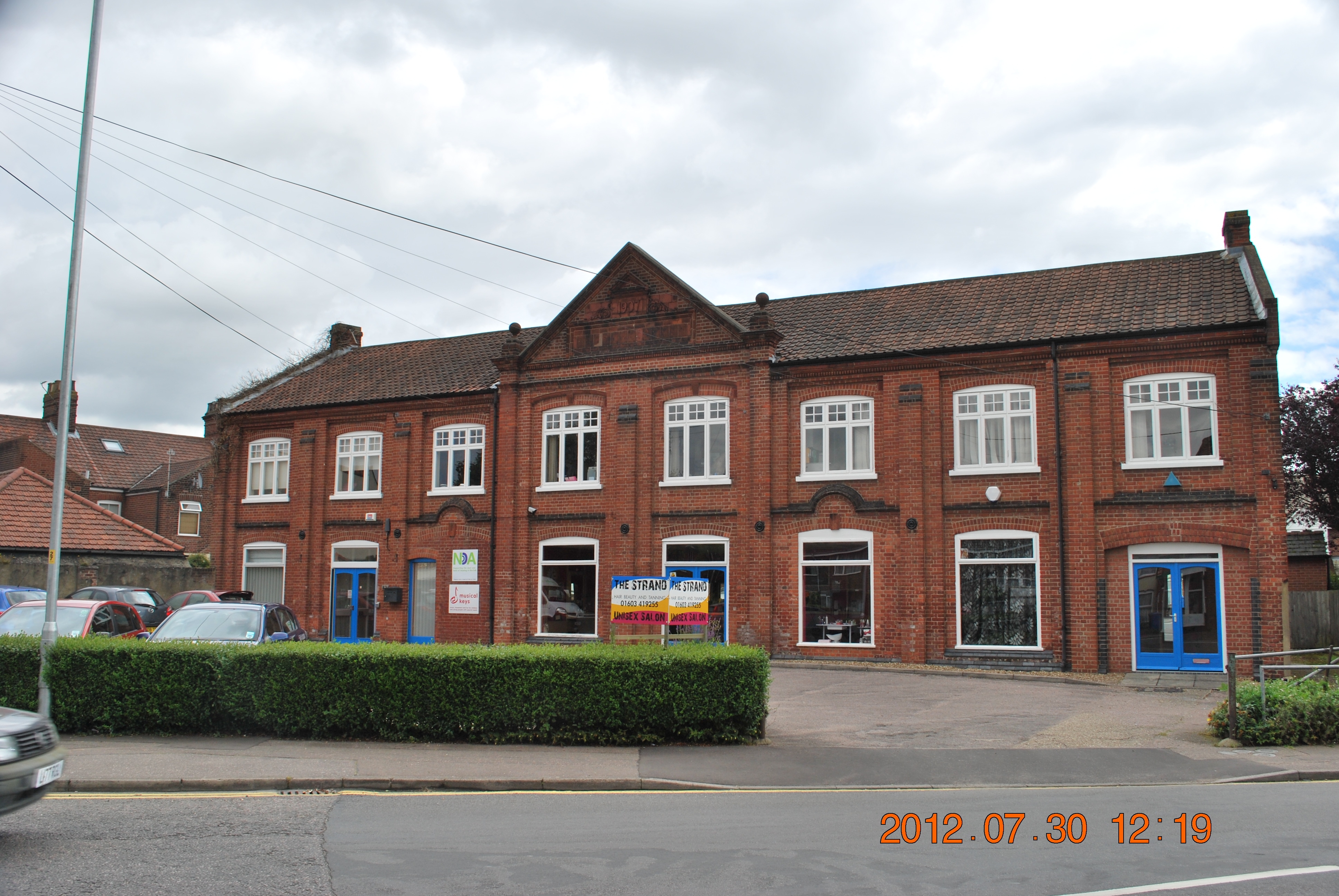
197 KB | Harriet (talk | contribs) | ID 24.110 = 014r0ae30a0h.jpg - The New Diamond Centre (Council Offices) which was the old elementary school later the Youth centre. Road: School Lane | 1 |
| 12:17, 7 January 2019 | 014r0ae30a0kp.jpg (file) |  |
408 KB | Harriet (talk | contribs) | ID 24.113 = 014r0ae30a0k.jpg - No 1 Glenburn Avenue, on the corner of Albion Drive. Re Thatched circa 2009. | 1 |
| 12:16, 7 January 2019 | 014r0ae30a0mp.jpg (file) |  |
58 KB | Harriet (talk | contribs) | ID 24.114 = 014r0ae30a0m.jpg - Memorial to those who died in WW1 at the Memorial Cottages in Oaktree Drive, off Mousehold Lane. | 1 |
| 12:16, 7 January 2019 | 014r0ae30a0np.jpg (file) |  |
67 KB | Harriet (talk | contribs) | ID 24.115 = 014r0ae30a0n.jpg - Queen Mary and King George V1??? at the Memorial Cottages in Oaktree Drive, off Mousehold Lane. | 1 |
| 12:16, 7 January 2019 | 014r0ae30a0op.jpg (file) |  |
3.22 MB | Harriet (talk | contribs) | ID 24.116 = 014r0ae30a0o.jpg - The Woodman Crossroad at the corner with School Lane. The shop on the R. H Corner (opposite Billy's fish and chip shop in School Lane) has recently been demolish and rebuilt as flats. | 1 |
| 12:15, 7 January 2019 | 014r0ae30a0tp.jpg (file) |  |
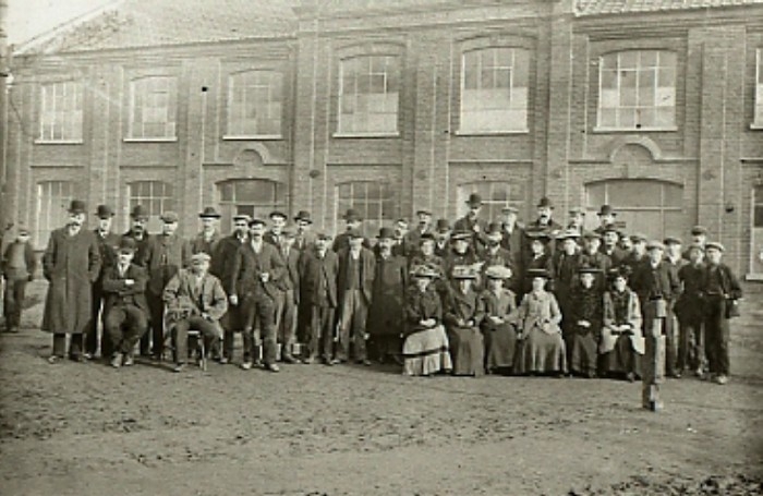
193 KB | Harriet (talk | contribs) | ID 112.7 = 014r0ae30a0t.jpg - Group of unknown people posing for a photo. outside of the Electric Tram Co. offices at the bottom of Silver Road. The Sheds were at the rear later became the International and the in 1959 were then the Kearley and Tonge Soc | 1 |
| 12:15, 7 January 2019 | 014r0ae30a0vp.jpg (file) |  |
4.24 MB | Harriet (talk | contribs) | ID 48.70 = 014r0ae30a0v.jpg - Tram shed offices, now business offices at junction of Silver Road, Norwich. | 1 |
| 12:15, 7 January 2019 | 014r0ae30a0wp.jpg (file) |  |
1.18 MB | Harriet (talk | contribs) | ID 48.71 = 014r0ae30a0w.jpg - Tram Shed Office block, junction of Silver Road. The building is the one in the background. | 1 |
| 12:14, 7 January 2019 | 014r0ae30a02p.jpg (file) |  |
254 KB | Harriet (talk | contribs) | ID 24.124 = 014r0ae30a02.jpg - New boundary stone. Not in same position as original. | 1 |
| 12:14, 7 January 2019 | 014r0ae30a03p.jpg (file) |  |
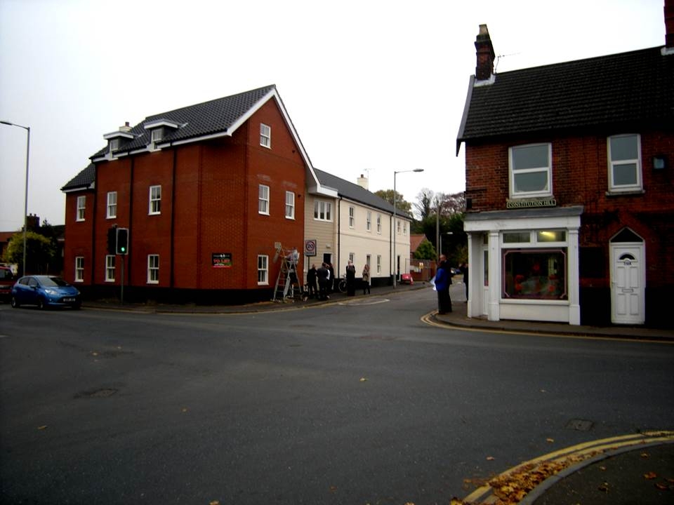
218 KB | Harriet (talk | contribs) | ID 24.125 = 014r0ae30a03.jpg - Block of flats replacing what was Clarkes shop on the corner of North Walsham Road and School Lane. | 1 |
| 12:14, 7 January 2019 | 014r0ae30a08p.jpg (file) |  |
395 KB | Harriet (talk | contribs) | ID 122.8 = 014r0ae30a08.jpg - Loading 10,000 sacks at the Norwich Sack & Bag Co. on Clover Road off School Lane. | 1 |
| 12:14, 7 January 2019 | 014r0ae30aaip.jpg (file) |  |
126 KB | Harriet (talk | contribs) | ID 24.128 = 014r0ae30aai.jpg - Brickworks Chimney on Lacey and Lincolns site at the top of Hoopers Lane. | 1 |
| 12:13, 7 January 2019 | 014r0ae300a7p.jpg (file) |  |
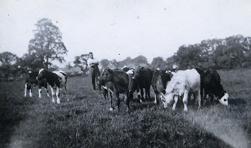
131 KB | Harriet (talk | contribs) | ID 22.10 = 014r0ae300a7.jpg - Stone House Farm: Stanley Dixon with his dairy herd in Dixons Field, 1938. | 1 |
| 12:13, 7 January 2019 | 014r0ae300a8p.jpg (file) |  |
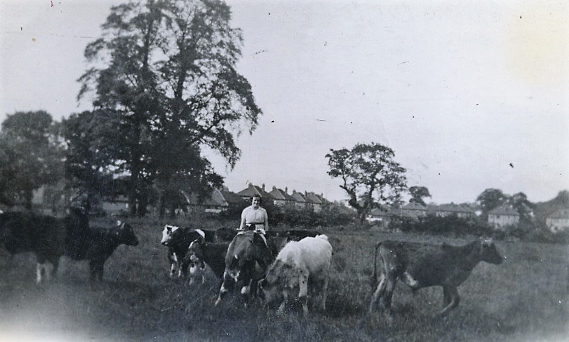
127 KB | Harriet (talk | contribs) | ID 22.11 = 014r0ae300a8.jpg - Joy wife of Stanley Dixon at Stone House Dairy farm. | 1 |
| 12:13, 7 January 2019 | 014r0ae300a9p.jpg (file) |  |
184 KB | Harriet (talk | contribs) | ID 22.12 = 014r0ae300a9.jpg - Stone House Farm Dairy, Sprowston. J.J.Dixon 1930s. | 1 |
| 12:12, 7 January 2019 | 014r0ae300abp.jpg (file) |  |
182 KB | Harriet (talk | contribs) | ID 24.2 = 014r0ae300ab.jpg - Blue Boar Inn 1840 (painting). | 1 |
| 12:12, 7 January 2019 | 014r0ae300arp.jpg (file) |  |
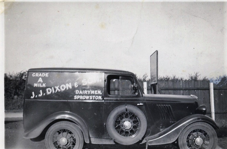
128 KB | Harriet (talk | contribs) | ID 22.7 = 014r0ae300ar.jpg - Stone House Farm Dairy: JJ Dixon & Son, Milk Deliveries. | 1 |
| 12:12, 7 January 2019 | 014r0ae300atp.jpg (file) |  |
117 KB | Harriet (talk | contribs) | ID 22.9 = 014r0ae300at.jpg - Stone House Farm Dairy. J, J,DIXON Milk Deliveries Top. 1950 Bottom 1970s | 1 |
| 12:12, 7 January 2019 | 014r0ae300b0p.jpg (file) |  |
110 KB | Harriet (talk | contribs) | ID 22.13 = 014r0ae300b0.jpg - Stone House Farm. Early J.J.Dixon milk delivery van. | 1 |
| 12:12, 7 January 2019 | 014r0ae300b4p.jpg (file) |  |
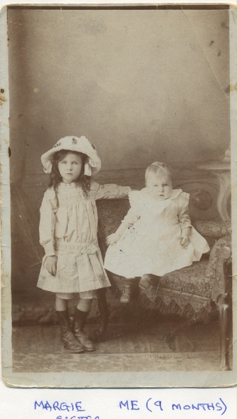
82 KB | Harriet (talk | contribs) | ID 38.1 = 014r0ae300b4.jpg - Olave and Marjorie Walker, sisters, born at 4 Church Cottages, Sprowston. World War 1. | 1 |
| 12:12, 7 January 2019 | 014r0ae300b5p.jpg (file) |  |
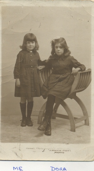
62 KB | Harriet (talk | contribs) | ID 38.2 = 014r0ae300b5.jpg - Olave Walker, standing, and Dora at 4, Church Cottages. The 1920's. | 1 |
| 12:12, 7 January 2019 | 014r0ae300b6p.jpg (file) |  |
138 KB | Harriet (talk | contribs) | ID 38.3 = 014r0ae300b6.jpg - The Walker daughters in 1931.The 1930s. | 1 |
| 12:11, 7 January 2019 | 014r0ae300b7p.jpg (file) |  |
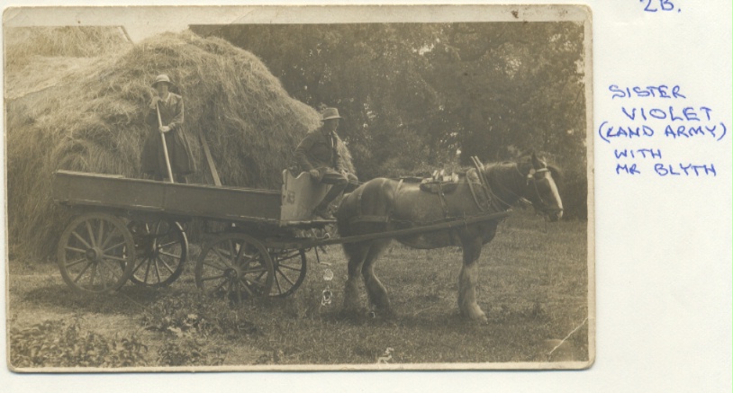
135 KB | Harriet (talk | contribs) | ID 38.4 = 014r0ae300b7.jpg - Violet Walker, as a Land Army Girl in the First Word War with Mr Blyth, a neighbour. (At Dixon's Farm) | 1 |
| 12:11, 7 January 2019 | 014r0ae300b9p.jpg (file) |  |
149 KB | Harriet (talk | contribs) | ID 38.6 = 014r0ae300b9.jpg - Annie Walker, with her brand-new bike. She was in service at Beeston St Andrews. The 1920's. | 1 |
| 12:11, 7 January 2019 | 014r0ae300bap.jpg (file) |  |
166 KB | Harriet (talk | contribs) | ID 22.14 = 014r0ae300ba.jpg - Stone House Farm. J.J.Dixon, milk delivery, prior to the van. 1930s. | 1 |
| 12:11, 7 January 2019 | 014r0ae300cbp.jpg (file) |  |
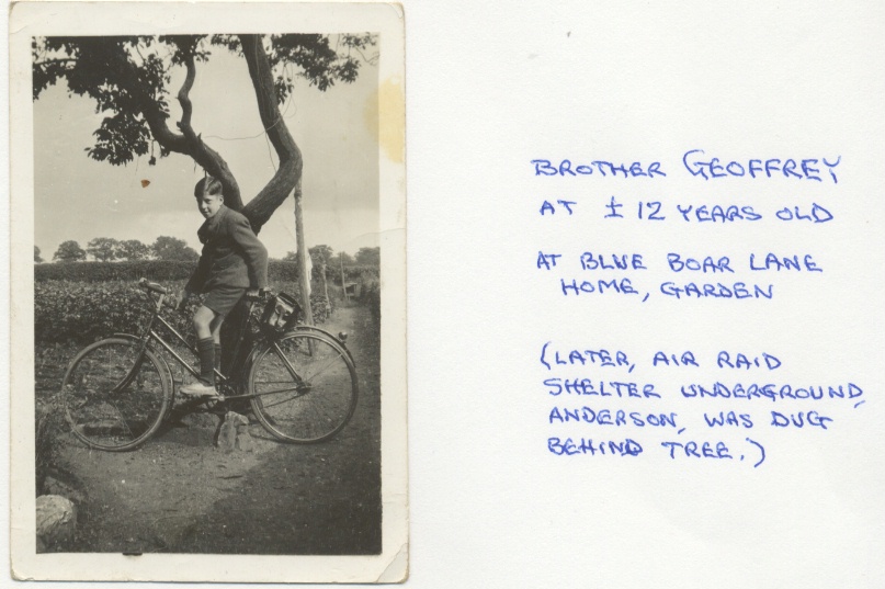
154 KB | Harriet (talk | contribs) | ID 38.9 = 014r0ae300cb.jpg - Geoffrey Walker in Blue Boar Lane. The 1930s. | 1 |
| 12:11, 7 January 2019 | 014r0ae300cdp.jpg (file) |  |
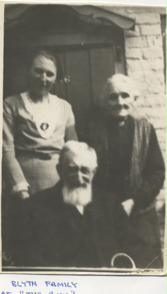
61 KB | Harriet (talk | contribs) | ID 38.11 = 014r0ae300cd.jpg - The Blyth Family in the Church Lane Row, Church Cottages. | 1 |
| 12:11, 7 January 2019 | 014r0ae300cgp.jpg (file) |  |
133 KB | Harriet (talk | contribs) | ID 38.14 = 014r0ae300cg.jpg - Dora Walker's marriage to Ben Chettleburgh, at the Church of St. Mary and St. Margaret. | 1 |
| 12:11, 7 January 2019 | 014r0ae300chp.jpg (file) |  |
97 KB | Harriet (talk | contribs) | ID 38.15 = 014r0ae300ch.jpg - James Sturman, Gamekeeper - Gurney Estate, Sprowston. In front of old laundry, on Blue Boar Lane. He died 14-10-2006, aged 97. The 1930s. | 1 |
| 12:10, 7 January 2019 | 014r0ae300eip.jpg (file) |  |
103 KB | Harriet (talk | contribs) | ID 47.1 = 014r0ae300ei.jpg - Flooded Rosemary Road. | 1 |
| 12:10, 7 January 2019 | 014r0ae300ejp.jpg (file) |  |
98 KB | Harriet (talk | contribs) | ID 47.2 = 014r0ae300ej.jpg - Flooded Rosemary Road. | 1 |
| 12:10, 7 January 2019 | 014r0ae300elp.jpg (file) |  |
93 KB | Harriet (talk | contribs) | ID 47.4 = 014r0ae300el.jpg - Flooded Rosemary Road 1950s. | 1 |
| 12:09, 7 January 2019 | 014r0ae300f0p.jpg (file) |  |
145 KB | Harriet (talk | contribs) | ID 39.10 = 014r0ae300f0.jpg - Coughtrey Close 1980s. | 1 |
| 12:09, 7 January 2019 | 014r0ae300f2p.jpg (file) |  |
103 KB | Harriet (talk | contribs) | ID 53.5 = 014r0ae300f2.jpg - The Beehive Public House. | 1 |
| 12:09, 7 January 2019 | 014r0ae300f4p.jpg (file) |  |
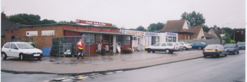
77 KB | Harriet (talk | contribs) | ID 53.6 = 014r0ae300f4.jpg - Shopping Area at Corbet Avenue. | 1 |
| 12:08, 7 January 2019 | 014r0ae300f5p.jpg (file) |  |
75 KB | Harriet (talk | contribs) | ID 54.6 = 014r0ae300f5.jpg - Martin's Stationery Shop, Corbet Avenue. | 1 |
| 12:08, 7 January 2019 | 014r0ae300f6p.jpg (file) |  |
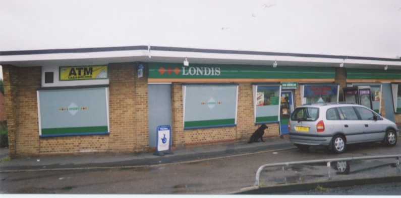
100 KB | Harriet (talk | contribs) | ID 53.7 = 014r0ae300f6.jpg - Londis Shop in Linacre Avenue. | 1 |